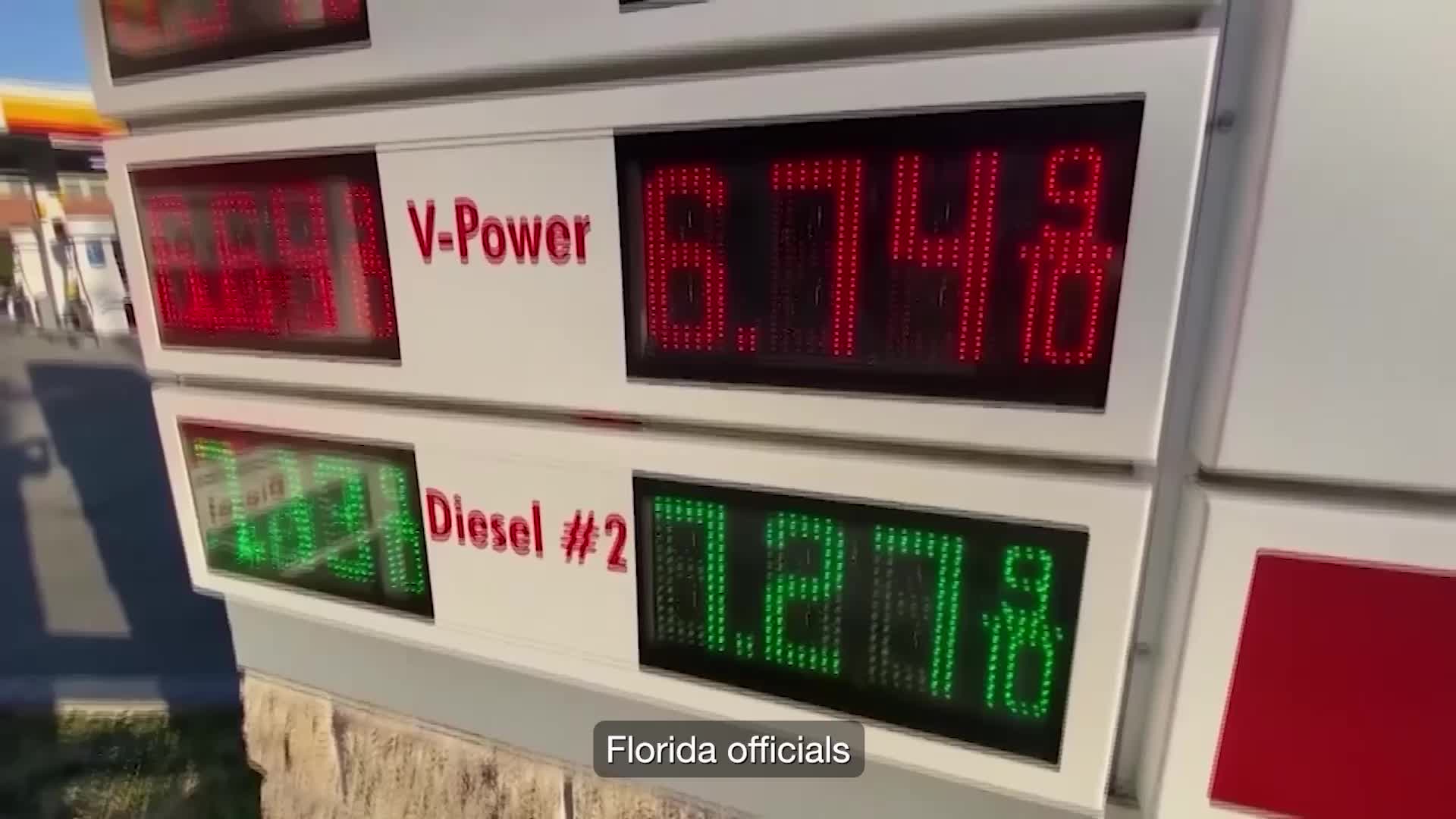
Tracking Hurricane 'Idalia'

Here comes another one... we are praying that the storm will not build as it slows through the 90deg+ Gulf of Mexico... Members such as Reaper Reaper Faelwolf Faelwolf and Snoopy Snoopy may be effected by this storm.

Looking like it is supposed to hit sometime Wednesday. Potentially in to Thursday (Just in time for flight night right Snoop??! :ROFLMAO:)

“Strengthening is forecast, and Idalia is expected to become a hurricane over the southeastern Gulf of Mexico by early Tuesday,” reads the National Hurricane Center’s update. “Additional strengthening is likely while Idalia approaches the northeastern Gulf coast.
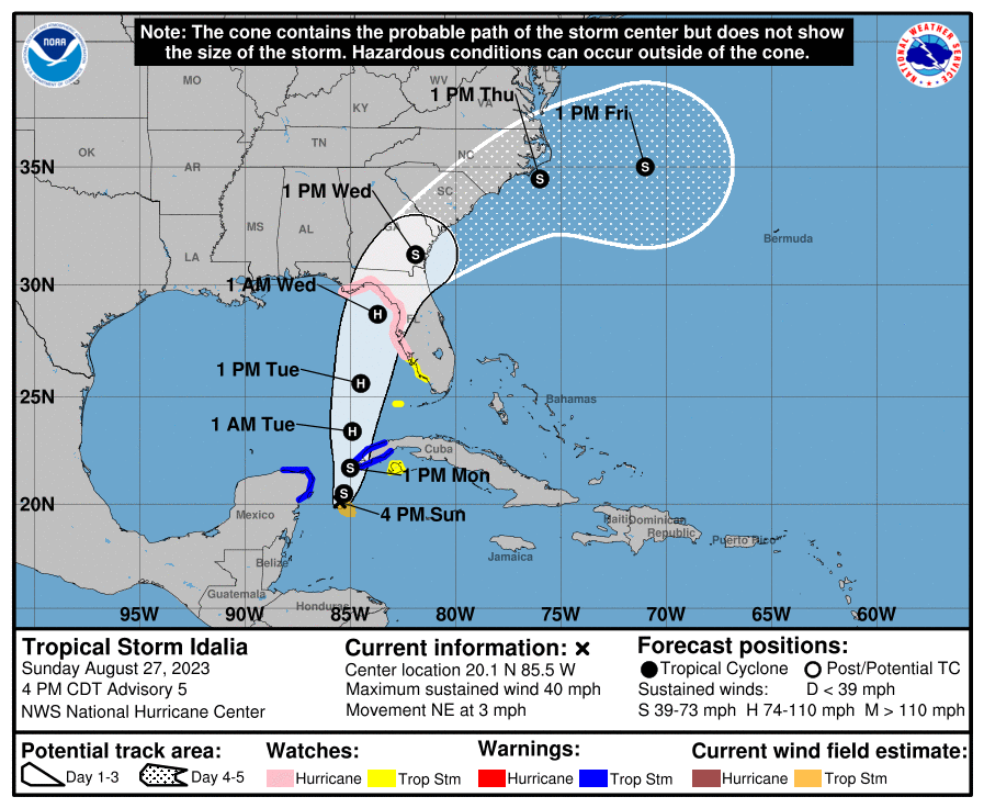

1693179826412.png
 
Getting to be a regular occurrence again it seems
Yeah the experts are predicting a really chaotic season this year due to the Gulf water being over 90deg. Which is record temps. What a time to be alive…
 
Last seen

Messages
6
Location
Florida
The oceans have heated up because we had an extensive grand solar minimum that only ended early this year. Lasted for almost 1-1/2 years. All that energy had to go somewhere! I had expected a hot summer, but wow!

Updates for this morning show a tightening of the predicted track, looks like it's going to hit the big bend, with future model deviations trending Eastward. Tampa could be in trouble even if it doesn't shift any further East, and Apalachicola - St. George Island is going to have a bad day too from the look of it. Official forecast now making it a major hurricane at cat 3, but some models predicting it to be cat 4.
 
As Faelwolf Faelwolf said, this storm is now being predicted to be a major Hurricane...

“This is going to be a major hurricane,” the governor said on Monday. The storm is expected to strengthen and begin affecting parts of Florida by late Tuesday.

1693232531990.png
 
Here is the updates from the NWS Bulletin for Tropical Storm Idalia.

**LIFE-THREATENING STORM SURGE AND DANGEROUS WINDS BECOMING
INCREASINGLY LIKELY FOR PORTIONS OF FLORIDA**
(*Note: NWS put this sentence in all caps.*)

“…the forecast hurricane intensity at landfall remains
nearly steady since the last advisory, with Idalia expected to be a
major hurricane at landfall.”

“Tropical storm force winds are most likely to arrive along the coast
on Tuesday evening, but they could **arrive as early as Tuesday
afternoon.**”
 
Last seen

Messages
6
Location
Florida
New hurricane hunter data and modeling panels show a small western shift but still hitting the big bend. Also showing likelihood of a cat 4 now increased. If it strengthens that much, it will likely hook, swinging it Eastward again.
Looks like it's asymmetrical, putting the bulk of it on its East side. Storm surge along the coast should be rough.
Here are the latest "Key Messages" as of this morning:

1693317449647.png


How are the skies looking for you thus far?
 
Last seen

Messages
6
Location
Florida
Idalia now predicted to be cat 4 just before landfall. We're still not getting any change to our status over my way yet, but expecting heavier rain, maybe more wind. Still on track to hit the big bend up into Georgia.
 
Top